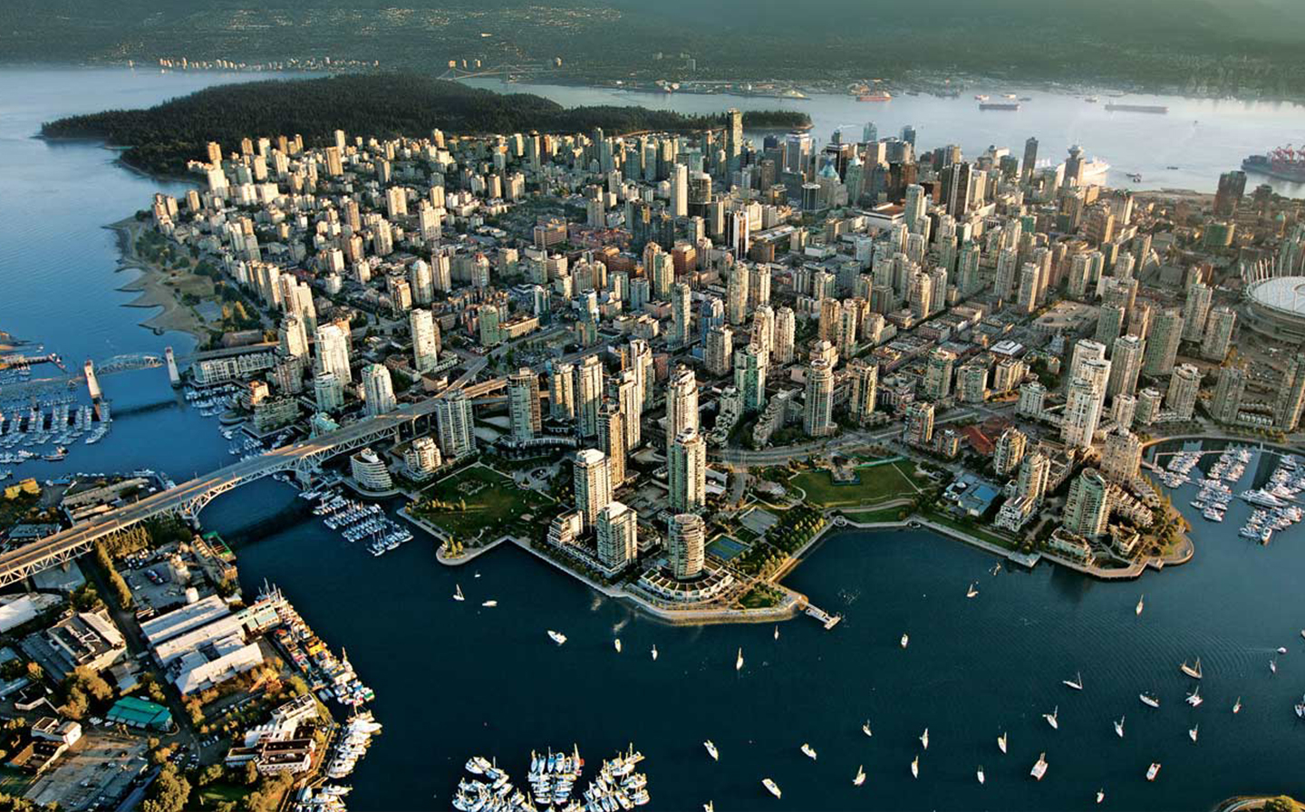
Coal Harbour
Coal Harbour is the name for a section of Burrard Inlet lying between Vancouver, Canada’s downtown peninsula and the Brockton Peninsula of Stanley Park. It has also now become the name of the neighbourhood adjacent to its southern shoreline, which was redeveloped as an upscale high-rise condominium district in the 1990s.
Explore Coal Harbour
Downtown
Downtown Vancouver is the southeastern portion of the peninsula in the north-central part of the City of Vancouver. It is the business, commercial, cultural, financial, government, and entertainment centre of the city and the Metro Vancouver and Lower Mainland regions.
Explore Downtown
Dunbar
Dunbar–Southlands is a neighbourhood in the City of Vancouver that stretches north from the Fraser River across much of the peninsula between the mouth of the Fraser and English Bay. It encompasses a collection of commercial and residential areas mostly made up of single-family residences, as well as the unique community of Southlands, populated by upscale mansions and horse farms. It is also the home territory of the Musqueam Indian Band.
Explore Dunbar
False Creek
False Creek is a short inlet in the heart of Vancouver. It separates downtown from the rest of the city.
The Canada Line tunnel crosses underneath False Creek just west of the Cambie Bridge. It is one of the four major bodies of water bordering Vancouver along with English Bay, Burrard Inlet and the Fraser River. In 1986 it was the location of the Expo 86 World's Fair.
Explore False Creek
Kitsilano
Kitsilano, known locally as Kits, is synonymous with famous Kits Beach—named one of the "top 10 best city beaches in the world" by international travel magazines, and perfect for outdoor EVERYTHING. Kitsilano is one of the city's organic-food hubs, and has extensive restaurants and retail alongWest 4th Avenue and West Broadway. Kitsilano runs along the south shore of English Bay, between popular Granville Island and Point Grey.
Explore Kitsilano
Point Grey
Point Grey is located on the Westside of Vancouver and has an idyllic setting surrounded by Pacific Spirit forest and also borders English Bay/Burrard Inlet. This area has become one of Canada's most expensive neighborhoods, particularly in the 'North of 4th' enclave which boasts spectacular water, city and mountain views.
Explore Point Grey
Shaughnessy
Shaughnessy is an almost entirely residential neighbourhood in Vancouver, British Columbia, Canada, spanning about 447 hectares in a relatively central locale. It is bordered by 16th Avenue to the north, 41st Avenue to the south, Oak Street to the east, and Arbutus Street/West Boulevard to the west. In 2011, the population was approximately 8,807.
Explore Shaughnessy
West End
The West End of Vancouver, British Columbia, Canada is on the downtown peninsula neighbouring Stanley Park and the areas of Yaletown, Coal Harbour and the downtown financial and central business districts.
The definition of the "official neighbourhood" of the West End, according to the city, is the area west of Burrard Street, east of Denman Street, and south of West Georgia Street.Historically the term originated and remains used by Vancouverites to refer to everything from Burrard Street to Stanley Park, including the Stanley Park Neighbourhood west of Denman Street and the Coal Harbour Neighbourhood. Coal Harbour Neighbourhood is officially designated as west of Burrard and to the north of West Georgia, although the newly built areas between West Pender Street and the waterfront are expressly "Coal Harbour" and not considered part of the West End.
Explore West End
Yaletown
Yaletown is an area of Downtown Vancouver approximately bordered by False Creek and by Robson and Homer Streets. Formerly a heavy industrial area dominated by warehouses and rail yards, since the Expo 86, it has been transformed into one of the most densely populated neighbourhoods in the city. The marinas, parks, high rise apartment blocks, and converted heritage buildings constitute one of the most significant urban regeneration projects in North America.
Explore Yaletown